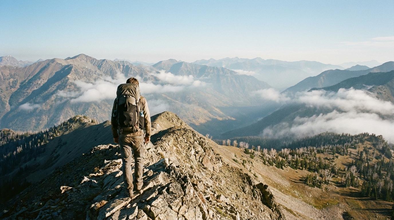
I was the one who split up our group in the Sawtooths, which is an awkward thing to admit when you’re also the person who carries a printed map in a ziplock bag. We left the trailhead together on a cold September morning, everyone talking too much because the climb hadn’t started yet. Somewhere past the first lake I saw what looked like a shortcut through a boulder field, a line that seemed to rejoin the trail just ahead, and I took it without saying anything to anyone. It did not rejoin anything. Instead I ended up on a rocky shelf above a drainage I couldn’t find on my map, scrambled back to the main trail, and by the time I got up onto the ridge there was nobody from my group in sight. Up there I turned a full circle with my hand over my eyes, checking switchbacks and treeline for a red jacket.
Sara’s first words to me in the parking lot later were “I genuinely thought you fell off something,” said while eating a granola bar she did not offer to share.
We all reached the pass eventually. Marcus had stopped to photograph a mountain goat and lost track of time crouched behind a rock, and Sara had followed some cairns that turned out to mark an old abandoned trail before she noticed and doubled back. Nobody was hurt (I want that on the record). I did get a long lecture on the drive home, most of it deserved, and I spent the evening going over the day in my head the way I go over a packing list, trying to find the step where it went wrong. What stayed with me was the stretch in the middle where none of us knew where the others were, and each of us was quietly building a worst case in our heads.
Junctions are where it goes wrong
I’m a big believer in regrouping at every junction, and I say so at the car before every hike. That rule still breaks down in real terrain, because people climb at different speeds and nobody chooses to pull ahead, they just do. Somebody stops to take a picture and looks up to an empty trail. After two bends and some thick trees you can’t see or hear the person you were chatting with ten minutes ago.
Our friend James found this out in the North Cascades. He took the wrong fork at a junction marked only by a cairn, nobody noticed, and the first anyone knew of it was the headcount at the trailhead parking lot, by which point he had been walking the wrong way for longer than any of us like to think about. Luckily he was fine, and walked back out tired and very quiet. But nothing in our setup could have told us earlier, and that part bothered me more than the wrong turn did.
Keeping a live map running on the trail
These days we keep a live location trip running while we hike. I should be clear about the tool: we use Konvoyage, and it’s really a driving app (its main job is turn-by-turn navigation for friends driving together in separate cars), so using it on a trail is a bit off-label. We start the trip for the drive to the trailhead anyway, and the part that matters on foot is the live map. Everyone in the trip shows up as a dot. It keeps updating from the phone in your pocket with the screen off, so nobody has to remember to check in.
How I read the map is basically a chain of ifs. If a dot is ahead of me and moving steadily along the trail, I leave it alone. When a dot is off to one side and not moving, I assume photos or a snack first (Marcus and his goat taught me that one) and look again a few minutes later. If it’s still sitting there, somewhere that stopping makes no sense like a steep section or off the trail entirely, I send a message. And if there’s no answer to that, we turn around and go to it, because by then the dot is the best information anyone has about where they are.
For the “hold on” moments there’s a quick message button, and “Wait for me” covers most of what I need to say on a climb.
The app also sends automatic alerts when someone falls behind or stops for a while. Those are set up for cars on a road (the falling-behind one doesn’t fire until someone is around ten kilometers back, which on a day hike would be a much bigger problem than a slow climber), so on foot I don’t count on them at all and I watch the dots myself. On a mountain-sized map you also end up zoomed out a long way, and dots disappearing when you zoom out is its own small headache worth knowing about before you’re squinting at a ridge.
The James situation looks completely different with this running. His dot would have started down the wrong fork while the rest of us were still close to the junction, and somebody would have noticed it drifting away from the line the others were on. Somebody sends a text, he walks back up to the junction, and we get a slightly embarrassing story at dinner instead of a headcount that comes up one short. It also changed the rest of the day for me. Marcus can go chase goats. I can sit on a warm rock and eat my lunch without that background math running about where everyone is and whether they’re okay.
Read this part before you trust the dots
Mountains don’t have reliable cell coverage, and a live map only knows what phones can send it. When someone loses signal, their dot fades on everyone else’s map at the last place it reported, labelled something like “no signal · 12 min ago.” Their phone keeps recording positions and sends them once it finds signal again, so the gap fills in later. None of that helps you in the moment, though. If your route spends hours out of coverage, somebody in the group should carry a satellite messenger like a Garmin inReach Mini, and the dots are just a nice extra when there are bars.
What I do before we leave the car (or better, before we leave town)
Set the trip up while you still have good signal. Creating a trip and joining one both need you signed in with Google, joining means typing a six-character code, and none of that is fun to attempt at a trailhead with no bars. I usually create the trip at home or at the last gas station, send the code to the group chat, and have everyone join before we’re on the forest road. Joining is quick, since your name is already filled in.
At the trailhead, I check that every dot is actually on the map before anyone starts walking. If someone’s phone is in battery saver mode, I ask them to turn it off for the day, because some phones get stingy with location in the background when it’s on.
One more thing I set up before the trailhead: someone who isn’t hiking gets a live view link. Any member of the trip can make one by tapping the trip code at the top of the map and choosing “Share live view,” and it goes out through the normal share menu to whoever you pick. My partner opens it in a browser, with no app and no account, and sees every one of us as a dot labelled with a first name. If one of us drops out of coverage, they see the same “no signal” label we do, which is a good thing to warn them about in advance (otherwise you come back to six missed calls). The link stops working when the trip ends.
Battery is the real cost. Live GPS pulls power all day, so we carry a power bank (mine is an Anker, and Sara’s is somehow always dead) and plan to top up at lunch. Cold makes it worse, which is covered in more detail in this piece on live tracking for ski groups.
Last, agree on a rule for what happens when a dot goes to “no signal” and doesn’t come back. Ours: if you lose sight of the group and your phone has no service, wait at the next junction, and whoever is ahead walks back to it. We say it out loud at the car every time, mostly for my benefit.