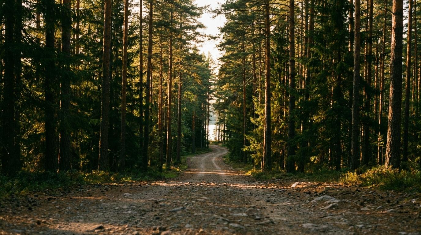
It looks like a real road on your phone, a thin gray line curling along the western shore of the reservoir and ending right where the pin sits, but the moment your tires leave the county blacktop the ground stops agreeing with the map. Gravel chatters in the wheel wells as the road narrows to one lane, and the blue navigation line keeps going straight through what your windshield insists is a washed-out ditch with grass growing down the middle. The owner’s directions said to go “past the cattle guard, then bear right where the road forks near the old well house.” You haven’t seen a cattle guard or anything resembling a fork, and the GPS still says you’ll arrive in four minutes.
A minute later it tries to route you through somebody’s horse pasture, which is usually when I stop trusting the blue line and start wondering where that pin came from in the first place.
Where the Pin Actually Comes From
Most people assume the map knows where the house is and is just bad at small roads. In practice it is guessing at both. Street data starts with counties and states, whose GIS departments publish road centerlines and address records, and map companies combine those files with satellite imagery and whatever their own camera cars have driven. Inside a city that pipeline is dense and gets corrected constantly, so it works remarkably well. Unincorporated land around a reservoir feeds it almost nothing: the lot may exist only in the county assessor’s files, and the mailing address may still reference a rural route that was renumbered years ago.
What I find most interesting is how the geocoder turns an address it can’t really find into a confident dot anyway. For most roads, the database doesn’t store a point for every house. It stores a road segment with a range of house numbers on each side, and when you search for an address the geocoder estimates where along that segment your number should fall, assuming the numbers are spread evenly from one end to the other (they almost never are out in the country, where a handful of houses can share a long stretch of road and the numbering jumps around depending on whoever assigned it that decade). If the private lane to the lake house isn’t in the database at all, there is no segment to put the house on, so the geocoder snaps to the nearest road it does know or to the last intersection on the rural route. The resulting pin looks exactly as trustworthy as a correct one, and nothing on the screen tells you it was a guess.
So you get people parked next to an empty field a few miles from the house, with the app announcing that they have arrived.
Roads are a separate gap, and how map companies actually gather their road data explains most of it. A gravel lane maintained by the people who live on it almost never gets driven by a camera car, and it carries too little traffic for anyone’s automated road detection to pick it up from phone traces. Unless one of the neighbors on that lane takes up editing OpenStreetMap as a hobby, it will probably stay off the map for a long time, so I’ve stopped expecting the next app update to fix it.
The approach that works far better is skipping the address and navigating to raw coordinates, which your phone can route to without matching anything in a database. Five decimal places of latitude and longitude pin a spot down to roughly a meter, and a location pin the owner shares from their phone in a messaging app is the same pair of numbers wrapped in a link. Some owners send a plus code instead, a short string of letters and digits that Google Maps reads directly and that encodes the same latitude and longitude in a form that’s easier to type. Coordinates still won’t tell you which of the unmarked dirt tracks near the house leads to the driveway, though. For that last stretch you want the owner’s landmark directions plus a satellite screenshot with the route drawn on it in red, even if it’s a wobbly finger drawing.
The Fire Station on the Wrong Lake
My friend Priya once rented a place on a reservoir in eastern Tennessee, and the address she sent routed my car and one other to a fire station on a completely different lake about nine miles north. The other car and I had been listening to the same audiobook since Knoxville, so at least we were lost together. We figured out something was wrong when we passed the fire station again and a guy in a lawn chair out front waved at us like he’d been watching lost renters circle his block all summer. His directions involved a collapsed barn and “the road that looks like it goes into the woods but actually keeps going,” and he was right about both. My best guess is that the geocoder did what I described above and dropped us on the closest road it could match, though I never went back and checked. By the time we pulled in, the sun was sitting on the ridge line and Priya was standing on the porch with a glass of wine in each hand, and nobody mentioned the fire station for the rest of the weekend because the collapsed barn made a better story.
When Several Cars Are Doing This at Once
Getting several cars to a place like this is harder than getting one there, and lake house weekends almost always involve several cars. Each driver reads the owner’s directions a little differently, and if they’re running different map apps, each app may geocode the address to its own wrong place. One car ends up at a boat ramp across the water while another takes the first fork instead of the right one and rolls into a neighbor’s driveway. Calling the lead car doesn’t help much when the terrain has dropped it into a hollow where voice calls won’t connect. Meanwhile the people already at the house can’t tell whether the missing cars are lost or just sitting in a dead spot waiting for a text to go through.
Following each other by sight works on a highway and falls apart on a winding gravel road, where the car ahead disappears around every bend and leaves a cloud of dust hanging behind it. Live location sharing covers that gap better than anything else I’ve tried, as long as a passenger in each car is the one watching the group map so the driver can keep their eyes on the gravel. A missed turn shows up as a dot heading the wrong way while it’s still a short drive back. When the group is strung out over a few miles you end up zoomed out a long way, which is exactly when it matters whether the app keeps everyone’s dots visible as you zoom out instead of shrinking them into specks.
Konvoyage sets the trip destination through a place search, which has the same blind spot as every other geocoder when the house has no real address. What I do instead is long-press the spot on the map where the house actually sits, which brings up “Navigate here?” with the exact coordinates and starts turn-by-turn guidance to that point rather than to the pin the search produced. It only changes the route in my own car, so I send the other drivers the coordinates and ask them to do the same before we leave.
If someone loses signal in the trees, their dot fades and shows “no signal” instead of freezing as if they’d stopped, and their phone keeps recording positions and sends them once it reconnects. Navigation needs data to start, though, so start guidance while you still have bars.
The Night Before Matters More Than the Drive
Most of the fixing happens before anyone leaves the house. Send every driver the coordinates and the marked-up screenshot the night before, while there’s still time to ask the owner what the well house looks like and whether the fork is obvious in summer when the grass is high. Satellite imagery can be several years old, so it’s also worth asking whether the track in your screenshot is still the one people use, because owners sometimes cut a new driveway and let the old one grow over. Downloading offline maps of the area in Google Maps is worth doing too, since the base map and routing keep working when the signal disappears.
Put one car in front and one at the back, and have the back car wait at each fork until it has seen the car ahead take the turn, which still works when the phones in the middle lose signal for a while.
If people are leaving from different cities, give everyone a two-hour arrival window instead of a time, so nobody drives the last gravel stretch in a hurry or in the dark. Then have a passenger in the first car to arrive send the group a single message describing the final approach from wherever they can find signal, something like “GPS is fine until the bridge, then left at the fork and stay on the gravel past the boat ramp.”