Have you ever wondered what your navigation app thinks you’re doing when you’re driving with a handful of cars?
It thinks you’re alone. That’s the answer. Google Maps, Waze, Apple Maps, every single one of them looks at your phone, your location, your traffic conditions, and calculates the fastest route for you and only you. The other cars in your convoy don’t exist in its world. They never did.
I watched this play out at a wedding in Vermont last October. Five cars left from the same parking lot in Connecticut within moments of each other, all heading to the same venue outside Stowe. By the time we crossed into Vermont, the convoy was on two different highways. The lead car had taken a faster toll road because Google Maps said it would save a few minutes. The last two cars were on a toll-free alternative because Waze decided tolls weren’t worth it for them. Nobody realized what had happened until someone called from 30 miles away asking which exit to take.
Thirty miles. That’s how far apart a convoy can drift when five people are running five separate navigation sessions that have no idea the other four exist.
Why Your App Routes You Differently Than the Car Behind You
Navigation apps make routing decisions based on a pile of variables: current traffic, historical traffic patterns, toll preferences, road closures, your speed, and (if you’ve let the app learn your habits) whether you tend to prefer highways or side roads. The problem is that each phone evaluates all of this independently.
If the lead car passes a congested interchange before traffic builds up, their app never recalculates. But the car a few minutes behind hits that congestion, and now their app suggests a detour. Same destination, same departure time within seconds, completely different routes. The app isn’t wrong, exactly. It’s just solving a single-driver optimization problem when the actual situation involves a group.
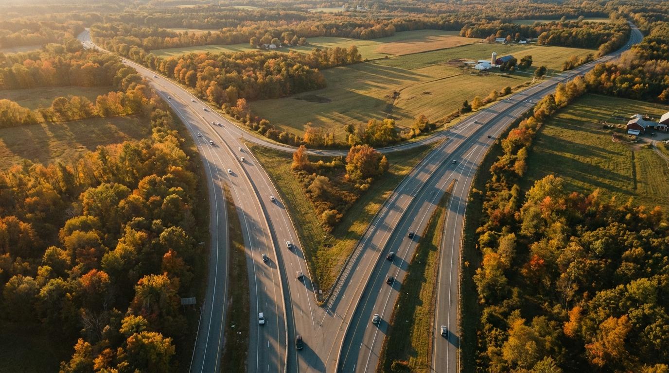
Toll preferences make it worse. If one person in your convoy has Waze set to avoid tolls and another doesn’t, they’ll get split at the first toll road junction. I’ve seen it happen on turnpikes in Massachusetts, on toll roads in New Jersey, on interstates in Oklahoma. Wherever there’s a toll road running parallel to a free alternative, your convoy is at risk of fracturing without anyone noticing until it’s too late.
There’s also the timing issue that nobody accounts for. Navigation apps recalculate routes at different trigger points for each device. One phone might recalculate when it detects you’ve been stationary for half a minute (stopped at a gas station, maybe). Another recalculates the instant you deviate from the predicted path by a certain distance. So even if two drivers started on the exact same route, a brief stop or a lane change at the wrong moment can fork their routes permanently.
The “Just Follow Me” Fallacy
The standard fix people try is “just follow the lead car.” It sounds reasonable. One person navigates, everyone else stays behind them. Problem solved.
Except it isn’t, because following requires seeing. If a traffic light splits the group (and it will), the cars left behind have two options: run the light (dangerous and illegal) or lose visual contact and hope they remember the route. If the lead car takes an unexpected turn, the third car might not see it because the second car is blocking the view. If someone needs gas and pulls off, they’re now navigating solo with no idea which route the lead car is actually on.
And here’s the part that gets overlooked: even when everyone is physically following the lead car, their navigation apps are still running. Still recalculating. Still suggesting different routes. So the passenger in car number four glances at their phone, sees “faster route available,” and now there’s a conversation happening at highway speed about whether to break formation.
After the Vermont disaster, my preparation instinct kicked in hard. I created a convoy navigation checklist with 11 items covering app settings, toll preferences, fuel stops, and communication protocols. I sent it to the group chat. Nobody used it. One friend replied with a single thumbs-down emoji. Fair enough. I deserved that.
One Rule That Actually Works
I scaled the checklist back to one rule: everyone uses the same navigation app. Not the same destination (obviously the same destination), not the same settings (though that helps), but the same app. If the lead car is on Google Maps, everyone is on Google Maps. If someone prefers Waze, we all switch to Waze.
This helps because the same app with the same routing algorithm will generally suggest the same primary route to everyone, at least at departure time. But it still doesn’t solve the real-time divergence problem. Traffic shifts, an accident closes a lane, and suddenly your app recalculates for you alone while the car behind you hasn’t reached the trigger point for recalculation yet. The one-app rule reduces the odds of a split, but it doesn’t eliminate them.
I also started pre-sharing the exact route as a Google Maps link before we leave. If everyone taps the same shared link, they get the same turn-by-turn directions, at least initially. It’s better than nothing. But the moment traffic data changes and one phone recalculates while another doesn’t, you’re back to the same problem: five separate navigation sessions running in parallel, oblivious to each other.
The fundamental issue is that standard navigation apps were never designed for groups. They solve for one driver because that’s what they were built to do. Asking them to coordinate five cars is like asking a calculator to run a spreadsheet. It’s not a failure of the tool. It’s a misapplication of it.
What Convoy-Aware Navigation Looks Like
The fix isn’t better solo navigation. It’s navigation that knows the group exists.
When every car in your convoy shares the same trip through Konvoyage, everyone sees everyone else’s live position on the same map. If the lead car takes a route, you can see exactly where they are and follow the same road, not because your app independently calculated the same route, but because you’re watching them drive it in real time. If someone falls behind or takes a wrong turn, the gap shows up on every screen immediately. No phone calls from 30 miles away. No discovering the split after it’s already happened.
The Vermont trip would have gone differently with this. The moment those last two cars started veering onto the toll-free highway while the lead car stayed on the toll road, everyone would have seen the divergence on their screens. Someone (probably me, if I’m being honest) would have said something before the gap hit 30 miles. The split wouldn’t have been invisible. It would have been obvious within the first mile.
The thing that would have saved that trip isn’t a better algorithm or a longer checklist or everyone switching to the same app. It’s awareness. If anyone in those five cars could have seen that two of them were diverging onto a different highway, someone would have spoken up before the gap became unbridgeable. That’s all it takes: making the group visible to itself.
Next time you’re organizing a group drive, ask yourself this: does every car know where every other car is right now, or are you just hoping everyone’s app agrees?